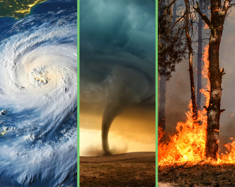
A little over two months into the 2025 Hurricane Season in the US, two of the four named storms in the Atlantic and Gulf of Mexico have made landfall and contributed to significant rainfall and flooding in Texas and the Carolinas. Though the start of the season has been relatively slow, projections remain above average. NOAA is still predicting 13 to 19 named storms, with 3 to 5 expected to be major hurricanes.
As of August, sea surface temperatures in the Gulf of Mexico are at record highs, creating conditions that can intensify storm strength and rainfall. The National Hurricane Center is currently monitoring several tropical systems, including Tropical Storm Dexter, that could increase seasonal impacts. In mid-July, even a non-named tropical disturbance (Invest 93L) triggered severe flooding across Florida and parts of Louisiana, underscoring that destructive impacts can occur without a named storm.
Severe weather has not been limited to the coasts in 2025. The preliminary count of observed tornadoes by the end of June reached over 1,200, which is 300 more than the 15-year annual mean per the National Weather Service. As the climate shifts and we see warmer weather and increased atmospheric moisture from rising Gulf temperatures, “Tornado Alley” will likely continue its shift from the Plains to the Mid-South and Southeast. These changes could lead to greater risks of loss of life and destruction of property due to higher population densities and infrastructure not historically designed for such hazards.
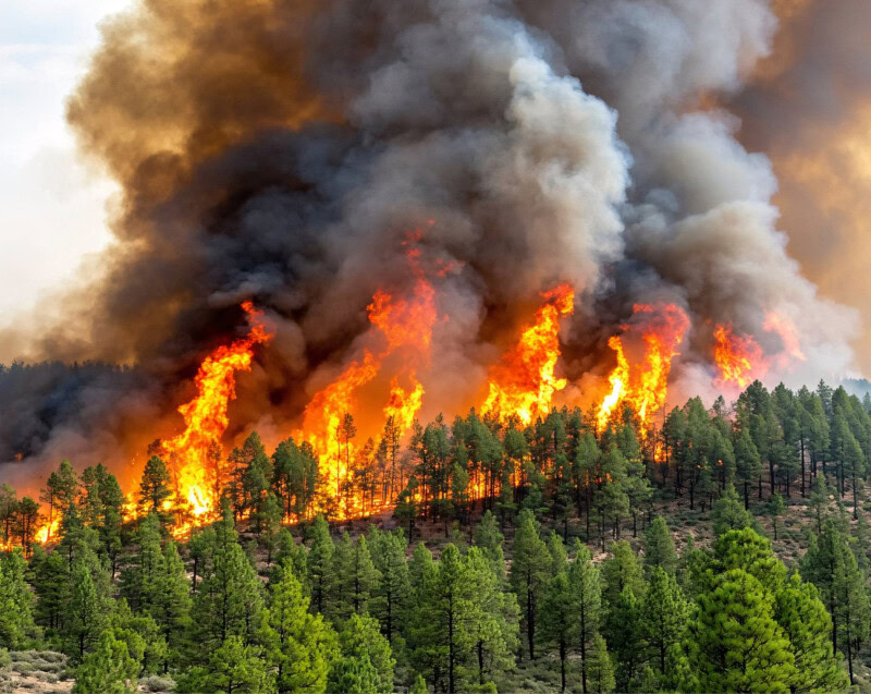
Water and wind are not the only hazards plaguing Americans in greater numbers this year. The National Interagency Fire Center reports, as of early July, a staggering 36,478 wildfire incidents, torching over 2.1 million acres. As we enter our warmest and driest season across much of the western US, the data show we are already on track to surpass the 64,897 wildfires in 2024.
How can you prepare for multi-hazard environmental events?
- Stay informed and react early. Budget and staffing cuts to agencies like the National Weather Service and NOAA are unlikely to be resolved in the near future, meaning delayed analysis, modeling, and warnings.
- Develop different versions of your Emergency Plan annually. Know your evacuation routes for hurricanes and wildfires. Identify safe shelter locations for tornadoes. Work with your county emergency management offices to align with local plans. Keep vulnerable family members and pets in mind when revising your plans.
- Build “Bug Out Bags” for you and your family. Stock 2–3 days’ worth of nonperishable foods, water, medications, flashlights, and batteries. Keep copies of your important documents with these kits.
- Perform an insurance review with your agent. This is especially important for those living in floodplains and in the shifted Tornado Alley. Standard policies often exclude flooding (water from the ground entering your home) and earthquakes.
- Community engagement can save the day. Form or join a local Community Emergency Response Team (CERT). Work with your city or county representatives to keep storm drains clear and create fire breaks as preventative measures ahead of catastrophe.
As we move into mid-August, the traditional ramp-up to the hurricane season peak, rising Gulf temperatures and active tropical wave development are potent reminders that danger can emerge quickly. Whether a system becomes a named storm or not, every disturbance brings risk. By staying informed, adapting plans, and acting early, we can build greater resilience at home and in our communities, helping to safeguard lives and property amid increasing environmental challenges.
Looking to expand your corporate or industrial readiness response plans for these severe threats? Reach out to CTEH’s environmental & business continuity experts for consulting support today.